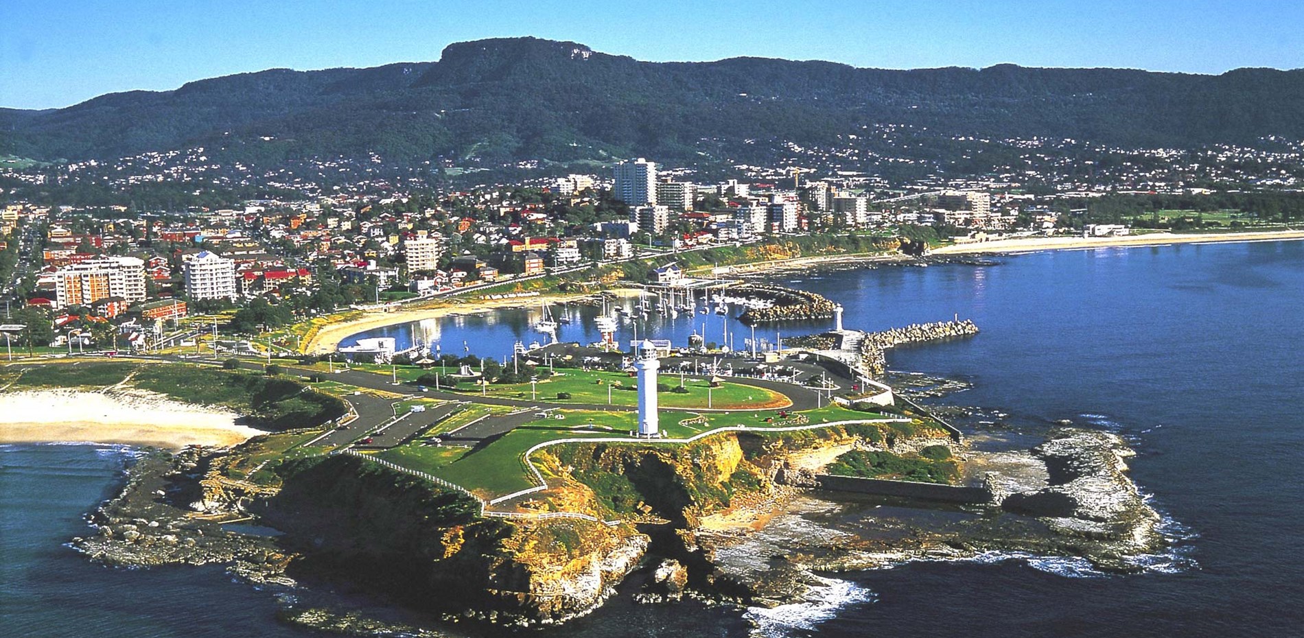
Wollongong is the third largest city in NSW.
It is home to the Port and Steelworks at Port Kembla, a leading University, the largest Buddhist temple in the Southern Hemisphere, and incredible local environment and geography.
Wollongong has a long history, with the Wodi Wodi people, a sub-group of the Dharawal Nation, having lived in the Illawarra for tens of thousands of years. The Dreaming story of the Five Islands is central to the story of the Illawarra and five islands that are prominent features of the region.
Wollongong’s migrant communities also play an important part in its history. Over multiple generations, people have moved to Wollongong from all parts of the world creating a truly multicultural community where acceptance is valued above differences. Residents of Wollongong may not always share a common language, but they do share common goals and values of fairness, decency and equality for all.
The Wollongong State Electorate spans the area from Towradgi Creek in the north, to Windang Bridge in the south, and Mt Kembla to the west. It is neighboured by the state electorates of Keira and Shellharbour, covered by the Federal electorates of Cunningham and Whitlam, and falls inside the Wollongong Local Government Area.
Suburbs covered by the Wollongong electorate:
- Berkeley
- Brownsville
- Coniston
- Cringila
- East Corrimal
- Fairy Meadow (partially)
- Figtree (partially)
- Gwynneville (partially)
- Kanahooka
- Kembla Grange (partially)
- Lake Heights
- Mangerton
- Mount Saint Thomas
- North Wollongong
- Port Kembla
- Primbee
- Towradgi
- Unanderra (partially)
- Warrawong
- West Wollongong (partially)
- Windang
- Wollongong